OpenWeatherMap presents the release of the VANE Language service

OpenWeatherMap presents the release of the VANE Language service

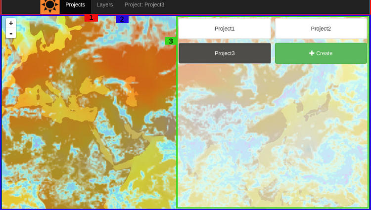
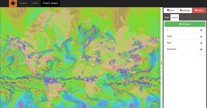
OpenWeatherMap presents the release of a new service – VANE Language (formerly Imagery API) – with examples here: http://owm.io/vaneLanguage.

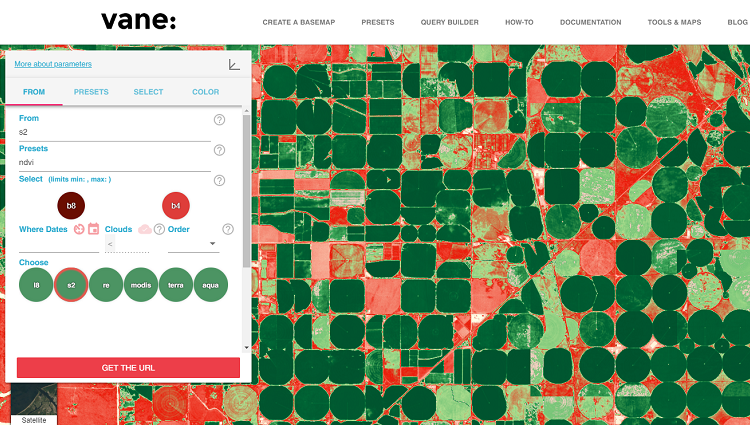
We initially called this service the “Imagery API”, but later realised that it consists of much more than just API calls. “VANE Language” is a more appropriate name for it, as it is like an SQL for satellite images. It is a unique offering in the satellite market. VANE Language is an entirely online service – there are no manual procedures, or presets such as maps prepared in advance.

Each “image” that we receive from Landsat 8 is not an image as commonly understood, but several layers that have to be processed and merged in some way before you can do anything with them. Each unarchived number of bands occupies around 2 GB of storage, and it obviously takes a lot of resources and time to process it. For example, to create a global map you need around 10,000 images that need to be processed and merged.

With VANE Language, the developer does not worry about time-costly pre-processing, because we do it all online immediately. We provide a powerful tool that will be familiar to any developer and hides all the complexity. In short, VANE Language gives full flexibility for a developer to do whatever they want with images and deploy the results into applications.

It also has a unique feature: configuring the formula for image processing. This allows the developer to set up their image-processing logic to create specific vegetation indexes, false colours and any other images that they want to use for analysis of objects, changes, yield health, etc.

Map Editor 2.0: Map with bike routes

Map Editor 2.0: Map with bike routes

There are many online map services for those who prefer active leisure. For example, here is a map with bike routes: http://www.thunderforest.com/maps/opencyclemap/.

Route maps are extremely useful! Also, while choosing a route it would be beneficial to know the weather in the region you will be travelling in. And what if we combine a bike route map with weather data from OpenWeatherMap? Eureka!

Map Editor 2.0 can help us with that!


Map Editor 2.0 – the newest version of our tool for customising weather maps

Map Editor 2.0 – the newest version of our tool for customising weather maps

We at OpenWeatherMap are happy to announce our new useful, smart tool: Map Editor 2.0! It allows you to create personalised weather maps on the basis of OpenWeatherMap’s data. Map Editor 2.0 provides a great variety of interface tools: for example, you can choose particular weather phenomena and adjust the colour display. And, as usual, all these tools are available through open access. To get this tool, simply log in to your account or create one. Be ready to become a weather pro!

Air pollution: ways to forecast and calculate it

Air pollution: ways to forecast and calculate it

In recent years, the fight against air pollution has become global. Humanity, at least when we are speaking about developed countries, starts to realize finally that the Earth is our common home which can get not suitable for living in the near future. Atmospheric pollution takes place when substances harmful for living creatures diffuse throughout the surrounding air, and then this destructive activity has its toxic impact later since it causes global changes of climate of the Earth.

New air pollution APIs

New air pollution APIs

Taking into account the great importance of the climate change issue, we at OpenWeatherMap would like to make our own contribution to making this world a better place.

The first version of the APIs includes several data sets: CO (carbon), NO2 (nitrogen dioxide), O3 (ozone), SO2 (sulphur dioxide).

We hope that the air condition data, both current and historical, will give you a great opportunity to create a variety of new applications and analytic services to keep an eye on what we breathe in real time and whether there is any improvement over time.

We use cookies to personalize content and to analyze our traffic. Please decide if you are willing to accept cookies from our website.