
14 Nov 2022
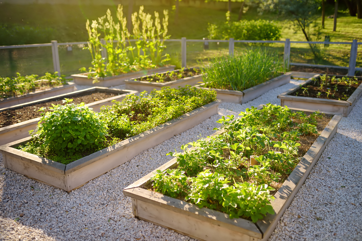
The Growing World of Urban Agriculture
“Farming is a profession of hope.” - Brian Brett.
In our previous article we examined the challenges facing the adoption of a sustain...
14 Nov 2022
“Farming is a profession of hope.” - Brian Brett.
In our previous article we examined the challenges facing the adoption of a sustain...
06 Nov 2022
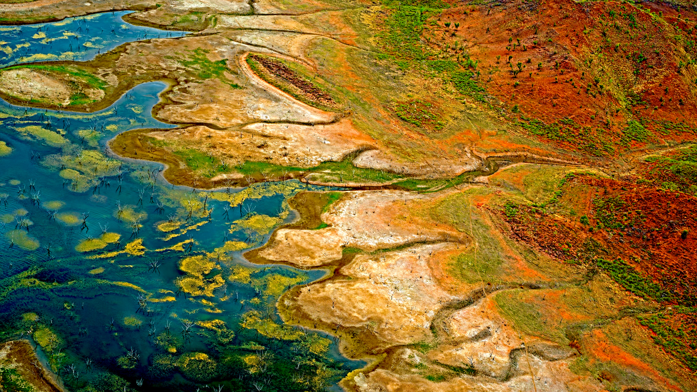
In our previous article on climate change, we examined the technology, and alternatives behind the production of our food. We now turn our attention to the future of ou...
30 Oct 2022
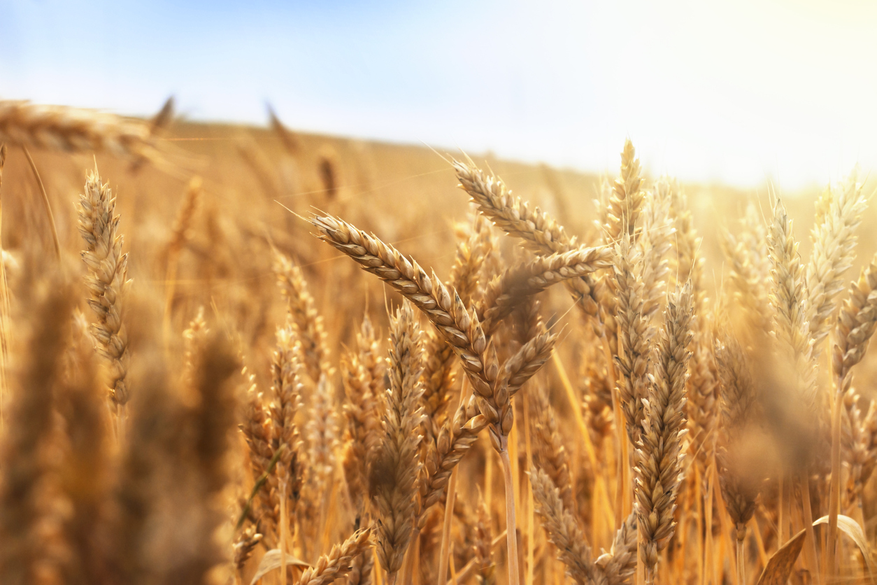
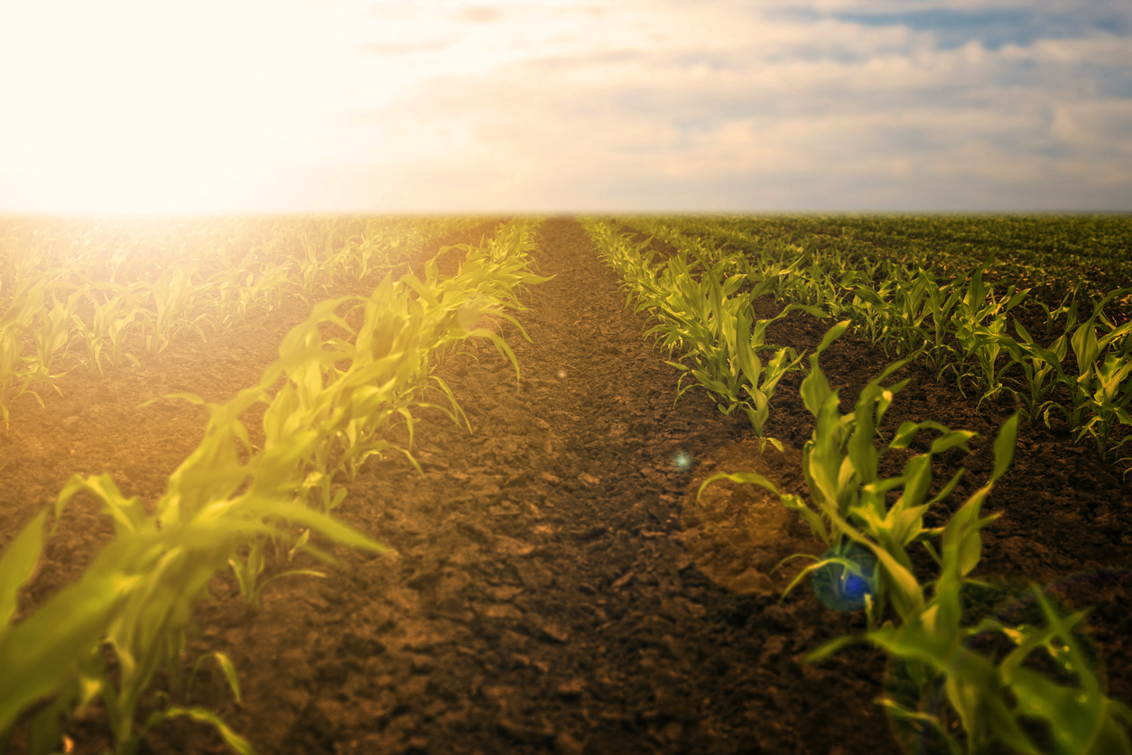
As part of our series of articles on the effect of climate change, we look at the recent push by the UK government to allow gene-edited crops to be grown in both England and Scotland that has met some resistance from the Scottish government.<...
23 Oct 2022
In our previous article on climate change, we looked into the local-level strategy that the UK government is adopting to create a more sustainable future. We now turn o...

17 Oct 2022
In our previous article on climate change, we examined how temperatures and weather are changing on a global scale. We will now look into how governments are reacting to ...
11 Oct 2022
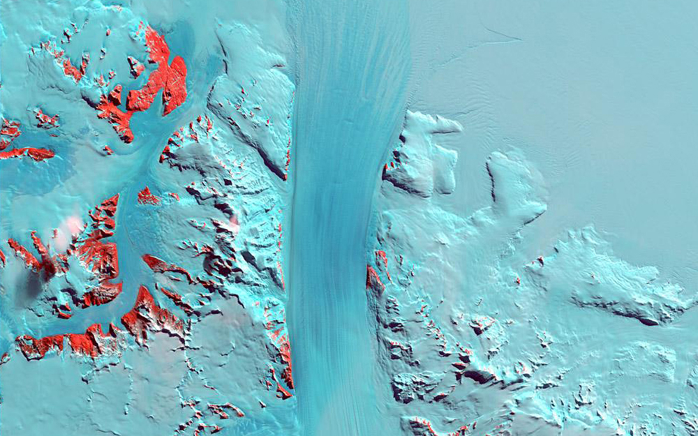
When Voltaire said, “men argue, nature acts”, he would not have known about the twenty-six global climate summits that have occurred since 1995, or the 20cm #weather #climatechange #weatherrisk #weatherapp #dataquality
04 Oct 2022
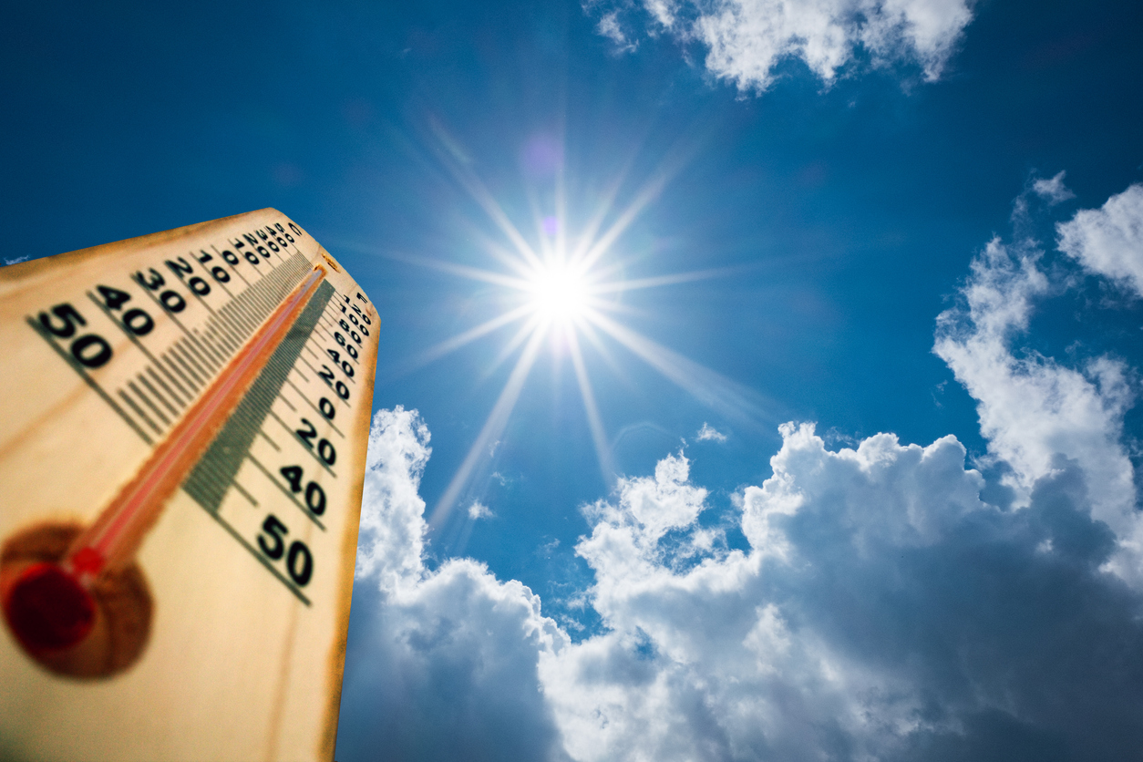
During this year we have seen some unprecedented high temperatures around the world.

12 Jul 2022
Using only the OpenWeather One Call API 3.0, a wide range of accurate and detailed weather information can be obtained from just one API.
02 Jul 2022
Rising global temperatures have proved to create both opportunities and challenges to individuals, organizations and governments. The future rate of global warming is still unknown and weather forecasting is becoming increasingly important.
25 Jun 2022
We will be looking at the various areas of sustainability and our environment, new technologies, global government and company initiatives, and the way we are adapting to our climate in a new series of articles.
Download OpenWeather app