

21 Jun 2022
OpenWeather Sponsors World Data League
The World Data League (WDL) represents the gathering together of the world’s leading data scientists to create real-world solutions to socially orientated problems, helping create a positive impa...
21 Jun 2022
The World Data League (WDL) represents the gathering together of the world’s leading data scientists to create real-world solutions to socially orientated problems, helping create a positive impa...
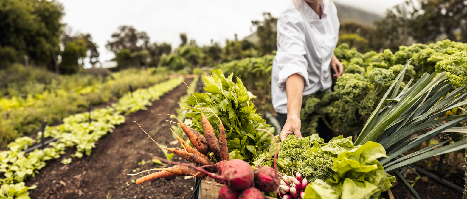
19 Jun 2022
How regenerative agriculture and new technological advances are helping farming adapt to climate change.

17 May 2022
Dave Waters once said “predicting the future isn’t magic, it’s artificial intelligence”.
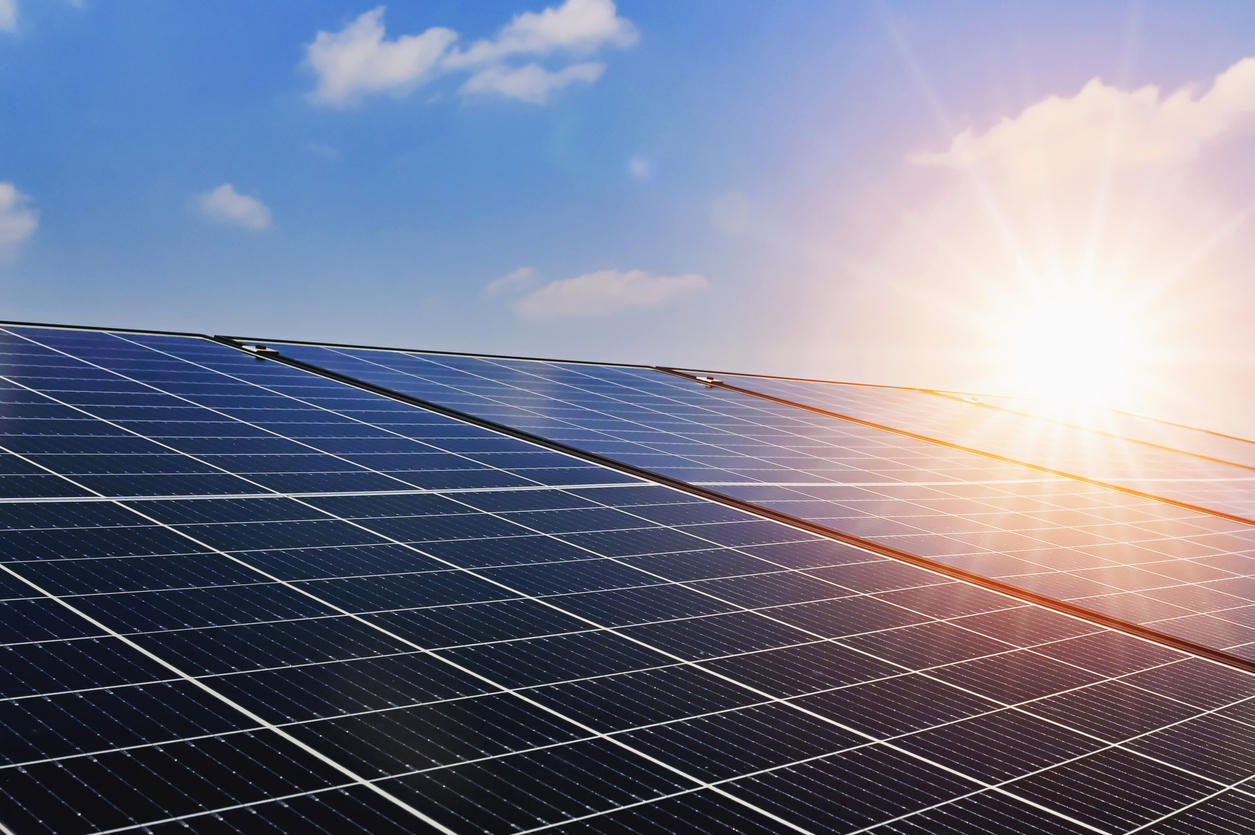
25 Apr 2022
The apparently magical ability to create energy from sunlight may seem to be of our age, but has been with us for millennia.
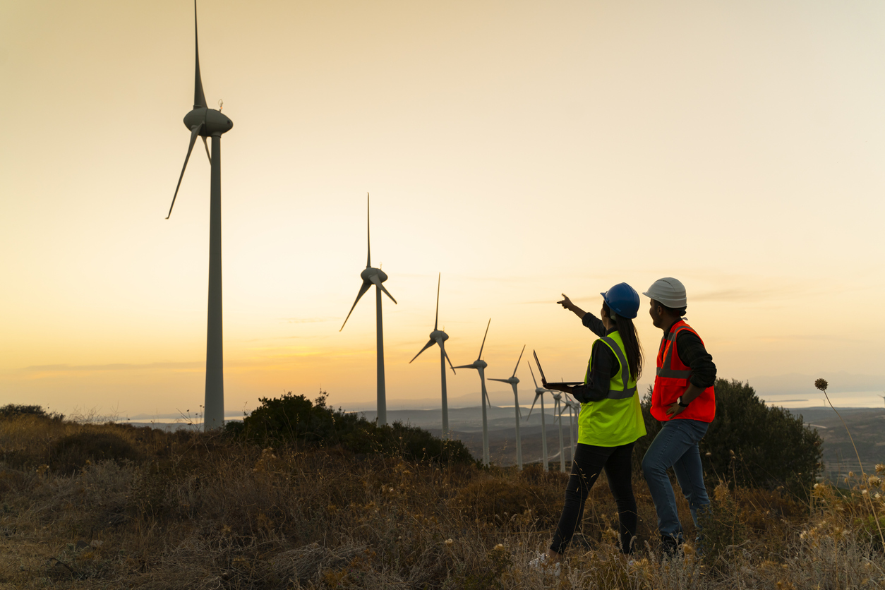
25 Apr 2022
The need to effectively and efficiently harness the power of the wind is well known.
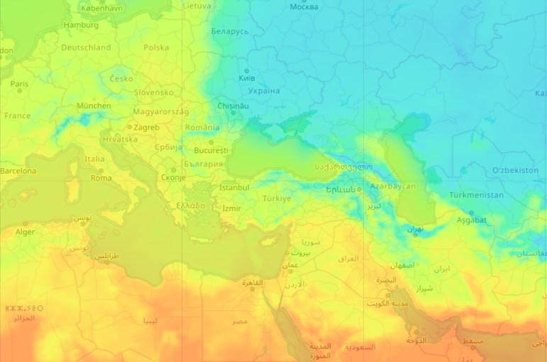
23 Mar 2022
Having global, accurate, feature-rich and graphical display of weather data can enhance application solutions in a wide variety of scenarios.

16 Mar 2022
“I can certainly see that you know your wine. Most of the guests who stay here wouldn’t know the difference between Bordeaux and Claret.” Basil Fawlty.
28 Feb 2022
There are countless ancient, yet rather dubious sayings about our weather ....

28 Feb 2022
The ever-present food delivery rider is now just as an intrinsic part of our urban lifestyle as our internet connection…
27 Jan 2022
How to shed light on your energy needs with the OpenWeather Solar Radiation API Historical data
Download OpenWeather app