26 Jun 2017
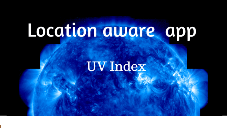
We are happy to announce significant improvements in one of our products – API for UV-index
We are happy to announce that one of our products – API for UV-index – has been significantly improved.
- Now, as well as current and historical data, you can also get UVI forecasts for periods of 8 days.
- The syntax has been made considerably easier: it has become clearer and more unified, like other API versions.
- There is a new feature to request data for any geographic coordinates without limits on accuracy.
- The accuracy level of the UVI modelled data has been doubled (the interpolation grid step has been reduced from 0.5 to 0.25 degrees).
- Soon, searching by city/town name, city/town ID and postal/ZIP code will be available.
You can find the instructions for the updated version at http://openweathermap.org/api/uvi.
Access to the UV-index data will be available for all our plans. For more information on our plans, please visit http://openweathermap.org/price.
The previous version of the API (http://openweathermap.org/api/old-uvi) will soon be announced as deprecated, and no further support will then be provided for this version.