

17 Oct 2022
The Strategy of Climate Change
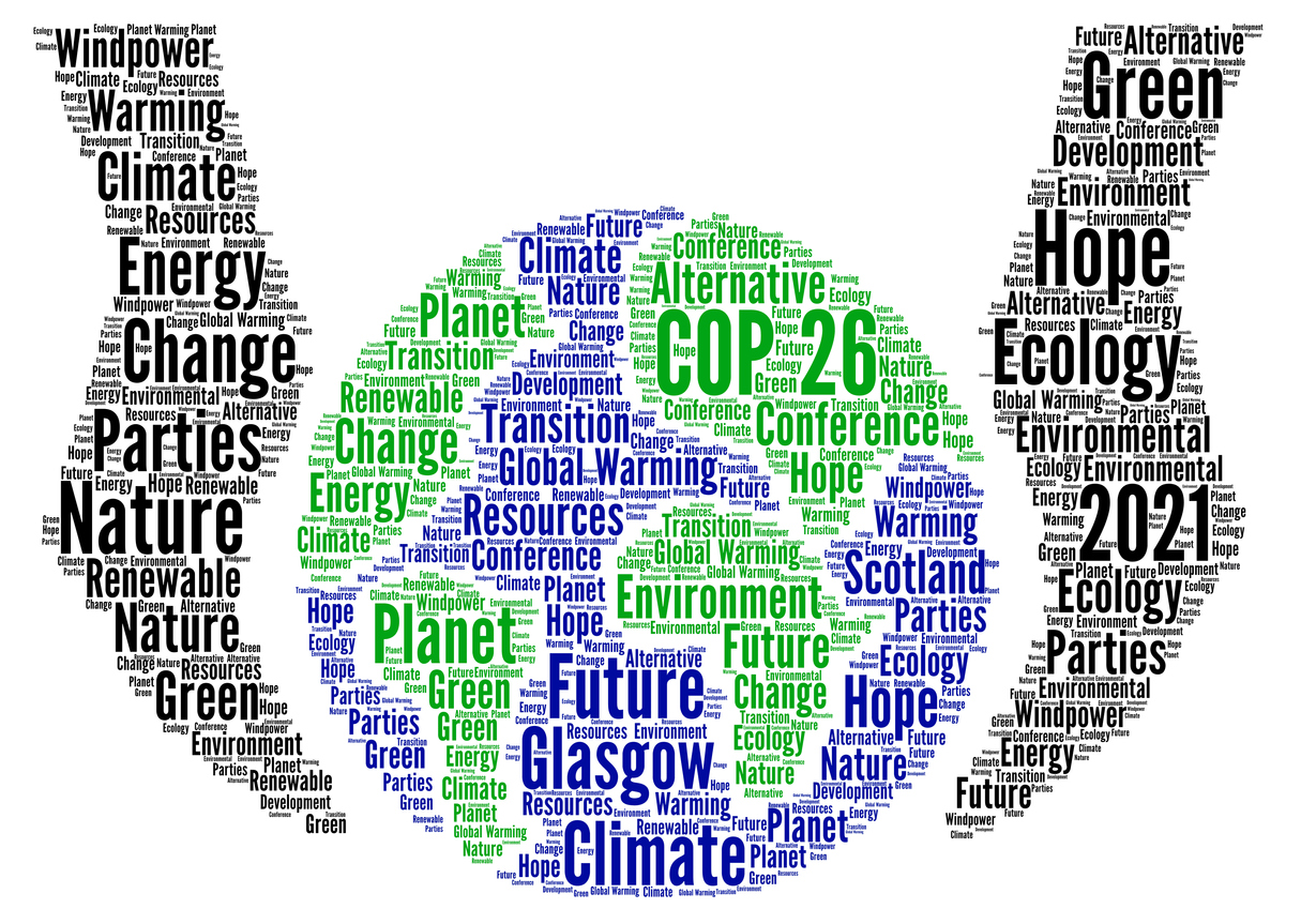
In our previous article on climate change, we examined how temperatures and weather are changing on a global scale. We will now look into how governments are reacting to ...
17 Oct 2022
In our previous article on climate change, we examined how temperatures and weather are changing on a global scale. We will now look into how governments are reacting to ...
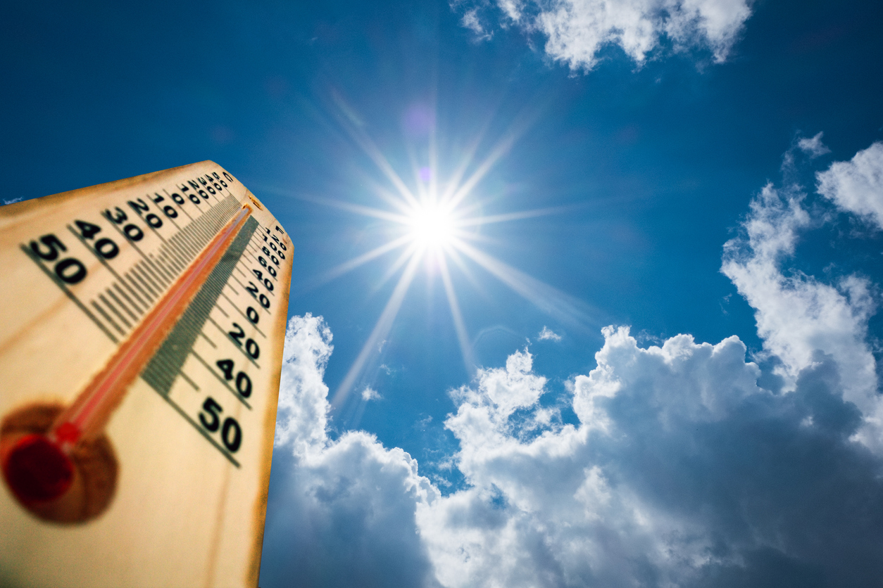
04 Oct 2022
During this year we have seen some unprecedented high temperatures around the world.

12 Jul 2022
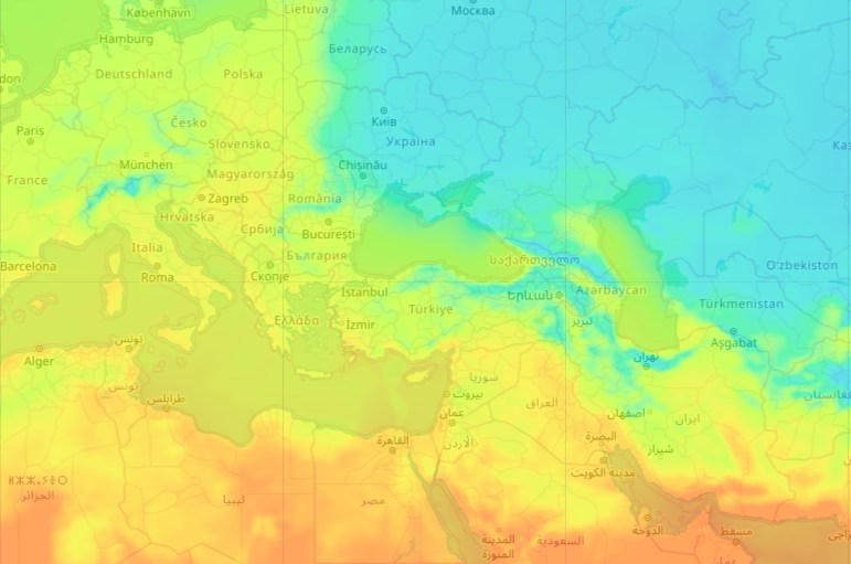
Using only the OpenWeather One Call API 3.0, a wide range of accurate and detailed weather information can be obtained from just one API.
02 Jul 2022
Rising global temperatures have proved to create both opportunities and challenges to individuals, organizations and governments. The future rate of global warming is still unknown and weather forecasting is becoming increasingly important.
25 Jun 2022
We will be looking at the various areas of sustainability and our environment, new technologies, global government and company initiatives, and the way we are adapting to our climate in a new series of articles.

21 Jun 2022
The World Data League (WDL) represents the gathering together of the world’s leading data scientists to create real-world solutions to socially orientated problems, helping create a positive impa...
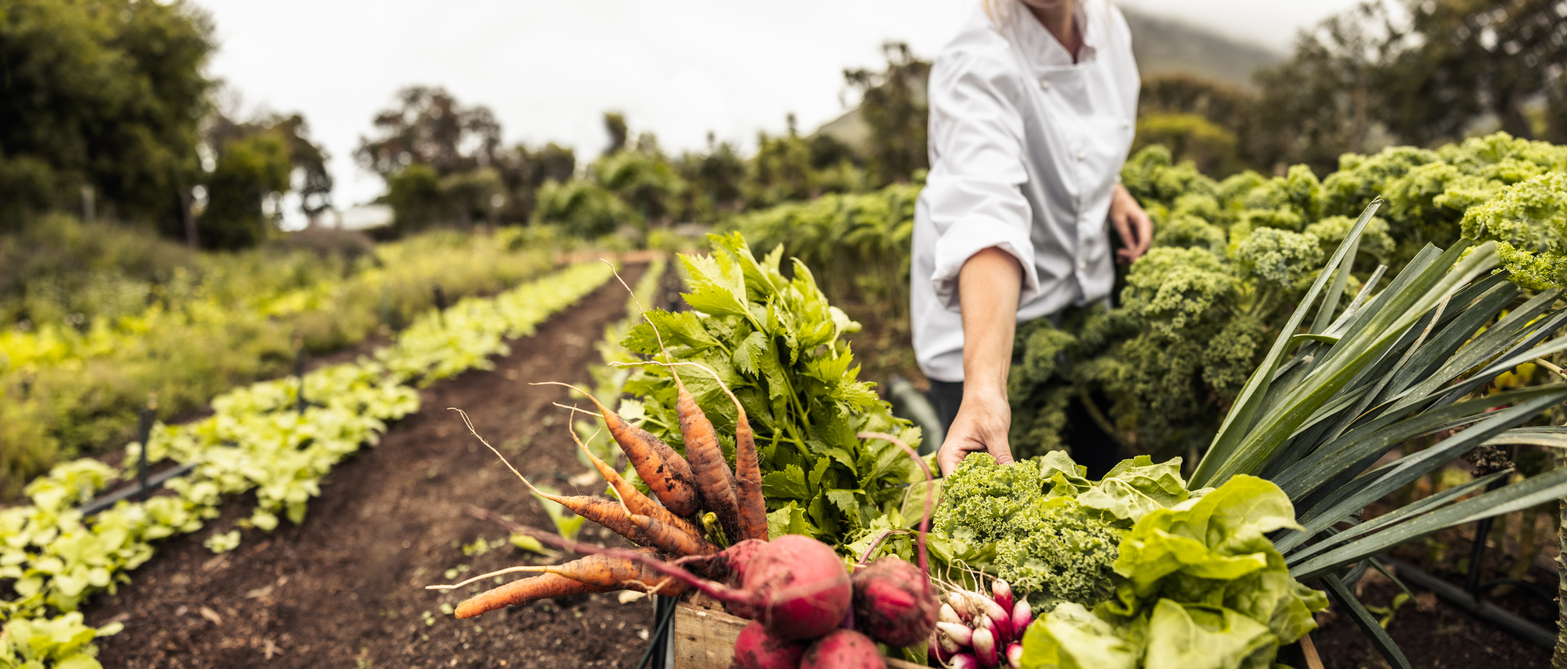
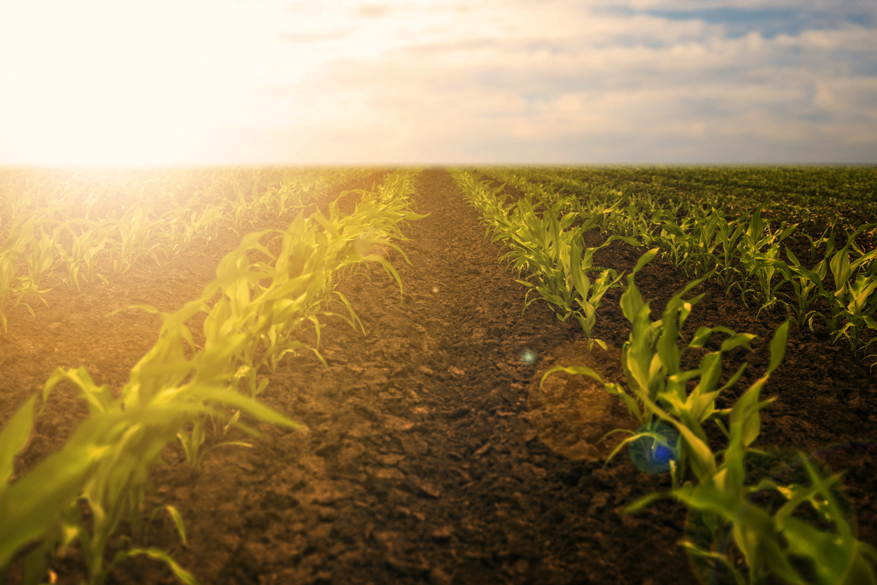
19 Jun 2022
How regenerative agriculture and new technological advances are helping farming adapt to climate change.
25 Apr 2022
The apparently magical ability to create energy from sunlight may seem to be of our age, but has been with us for millennia.
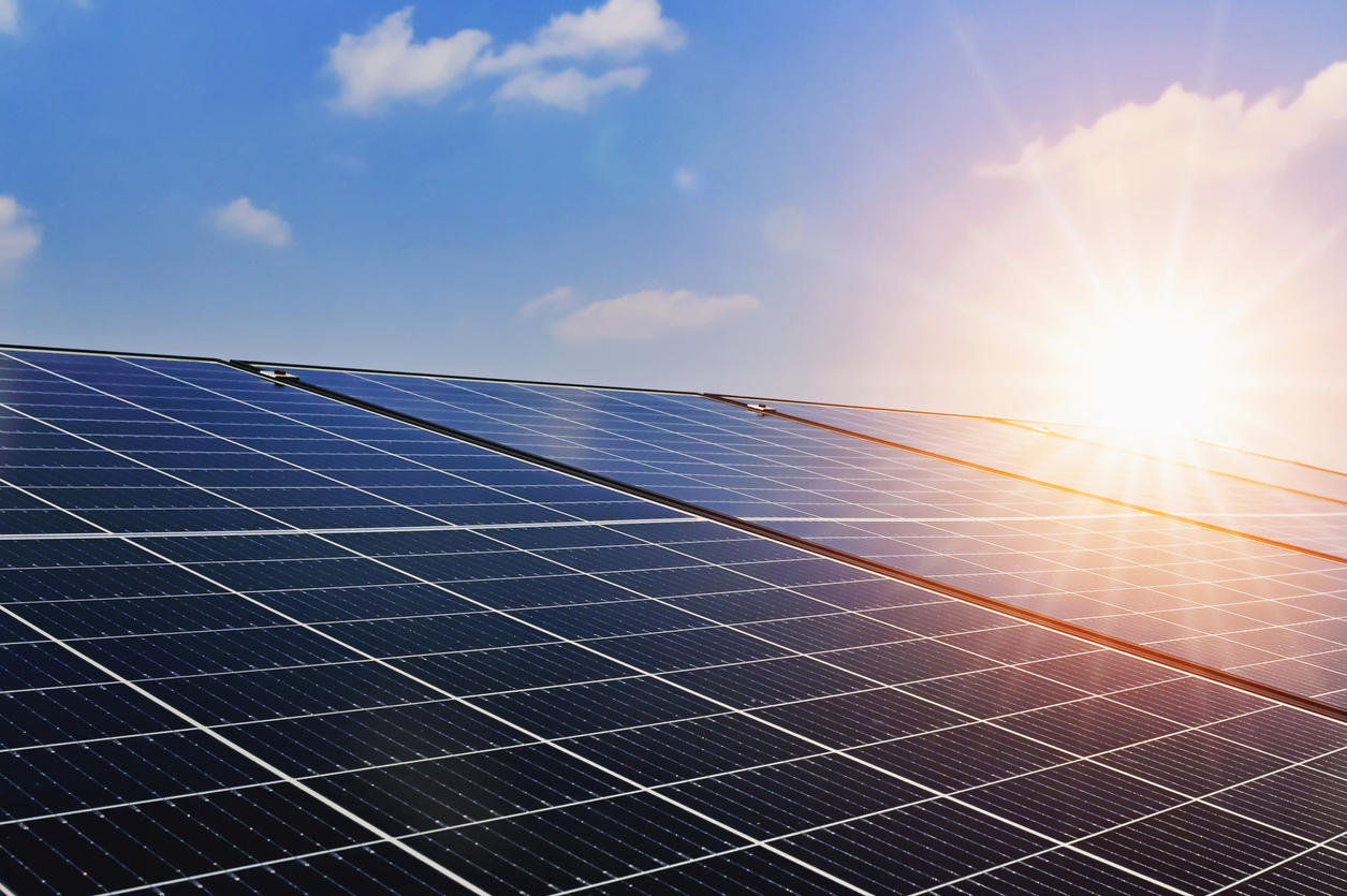
25 Apr 2022
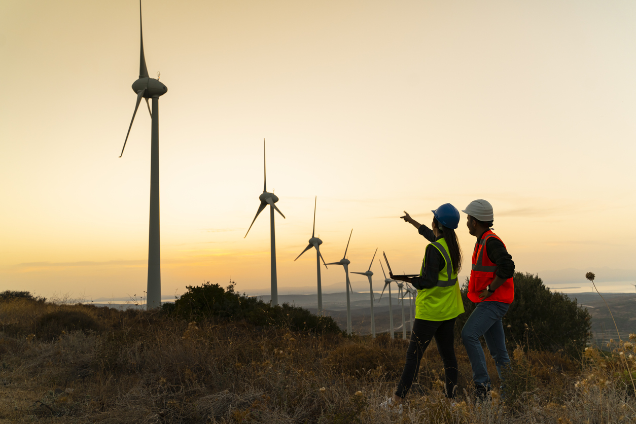
The need to effectively and efficiently harness the power of the wind is well known.
23 Mar 2022
Having global, accurate, feature-rich and graphical display of weather data can enhance application solutions in a wide variety of scenarios.
Download OpenWeather app