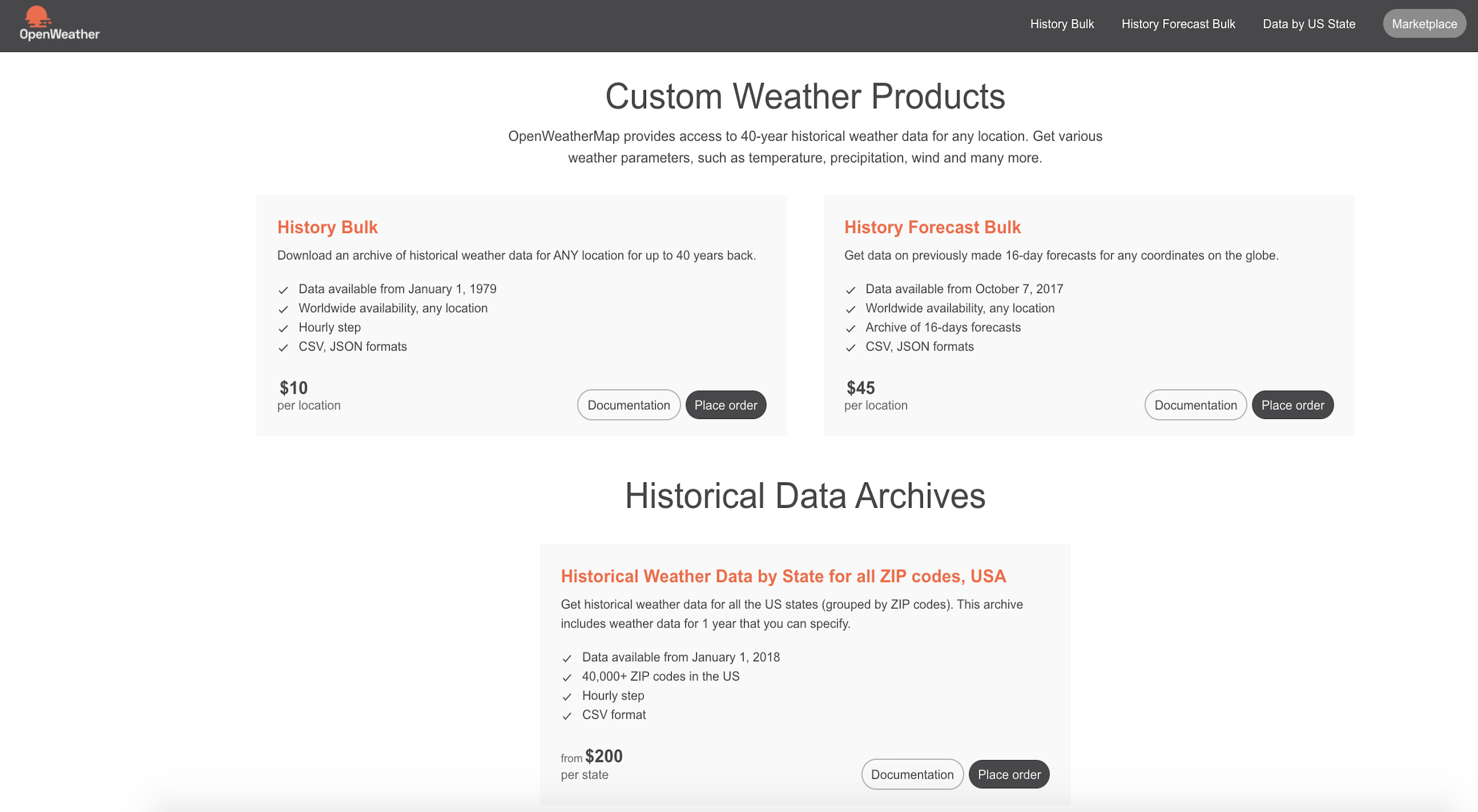
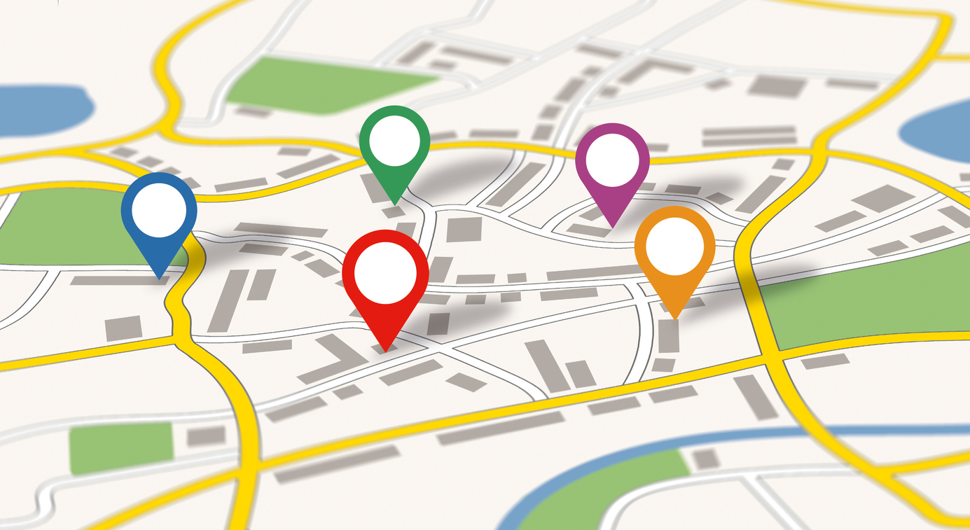
In the current version of the VANE Language, we use images from the Landsat 8 satellite, which captures the Earth’s entire surface every 16 days. The satellite makes hundreds of images, with a unique name for each one (such as “LC81410552016219LGN00”) and a pixel size of 30 metres. Each image consists of 11 bands; the size of an uncompressed image is 2 GB.
Landsat 8 Operational Land Imager (OLI) and Thermal Infrared Sensor (TIRS) images consist of nine spectral bands with a spatial resolution of 30 metres for Bands 1 to 7 and 9. New Band 1 (ultra-blue) is useful for coastal and aerosol studies, and also new Band 9 is applicable for cirrus cloud detection. The resolution of Band 8 (panchromatic) is 15 metres. Thermal Bands 10 and 11 provide more accurate surface temperatures and are collected at 100 metres. The approximate scene size is 170 km north–south by 183 km east–west (106 by 114 miles).
By default, we get Bands 2, 3, 4, 5 and 7, but it is possible to download any other bands.