

23 Nov 2023
The Price of Liquid Sunshine
George Bernard Shaw once described Whisky as ‘Liquid Sunshine’, an opinion that few aficionados of the golden liquid would disagree with.
23 Nov 2023
George Bernard Shaw once described Whisky as ‘Liquid Sunshine’, an opinion that few aficionados of the golden liquid would disagree with.

15 Nov 2023
When temperatures drop to zero degrees, water takes on a seemingly mystical transition from its liquid to solid state. This solid has shaped and molded our planet and our lives, has created devastation, wrecked ships, inspired explorers and p...

09 Nov 2023
We now take a look at some of the issues surrounding the permissioning of new green energy installations, and how different global regions are addressing these.

02 Nov 2023
Changing climate patterns that include increasing temperatures, changing precipitation levels and an increase in the variability of the weather cause animals to modify their key life stages, and force them to make adaptations in a short perio...

20 Oct 2023
While OpenWeather products reach around the globe, we are physically located in one of the most iconic and recognizable of London’s buildings, namely 30 St Mary’s Axe. The building was completed in December 2003, spans 41 floors, and is 180 m...

11 Oct 2023
What can be more comforting than the smell of a delicious apple pie? Freshly baked and simply bursting with the wonderful aromas and flavors of a fruit that is loved by millions of people. Apples are found in virtually every market around the...

29 Sep 2023
OpenWeather were delighted to be part of BigData LDN 2023 - the UK's leading data and analytics annual event, and were overwhelmed by the positive response from the attendees who visited our stand.

13 Sep 2023
The OpenWeather One Call API 3.0 is a complete, sophisticated yet simple, weather API that can be used within a range of applications to give accurate, useful and wide ranging w...
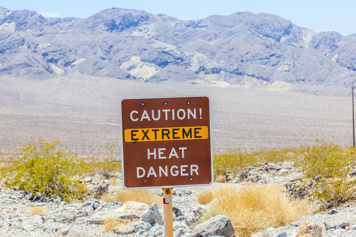
06 Sep 2023
The seemingly relentless 2023 heatwave that shows no signs of respite has been attributed to a combination of factors, including climate change, the El Niño weather pattern, as well as a stubbornly static gulf stream

30 Aug 2023
The Wild Tiger is one of the world’s most enigmatic, evocative and unfortunately, most endangered of the world’s species. The effects of global warming and changing ecosystems have made survival increasingly difficult for this beautiful anima...
Download OpenWeather app