

01 Feb 2019
How to move from Weather Underground to OpenWeather
OpenWeather will help you easily and quickly move to our Weather API if you have been affected by the closure of the Weather Underground API.
01 Feb 2019
OpenWeather will help you easily and quickly move to our Weather API if you have been affected by the closure of the Weather Underground API.
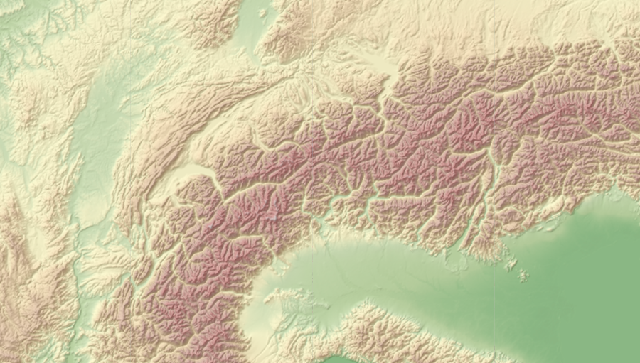
29 Nov 2018
Relief Maps allows you to get relief maps from around the world. Set the position of the sun in your parameters and you will receive precise illumination of the earth’s surface and its relief for the conditions you have set.
29 Oct 2018
The OpenWeather team announces Weather Maps 2.0, where you can now work not only with current weather layers but also with historical and forecast maps!
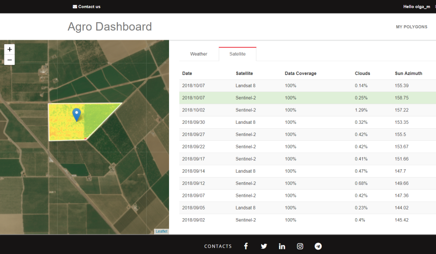
17 Oct 2018
The Dashboard for Agricultural Monitoring is a service created for visual demonstration of satellite data (NDVI) and weather data (forecast, historical and accumulated parameters), which you can get for your area of interest (that is, for your polygons).
19 Sep 2018
In the past, it was not easy to work with satellite imagery and use the images in applications. You had to have deep expertise in the satellite imagery area and have access to massive computing capacity. Fortunately, now this data is available in a much easier way through our APIs.
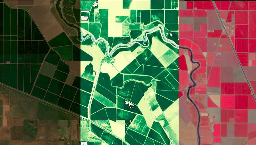
19 Sep 2018
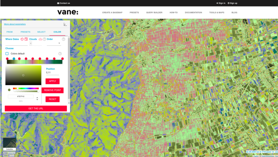
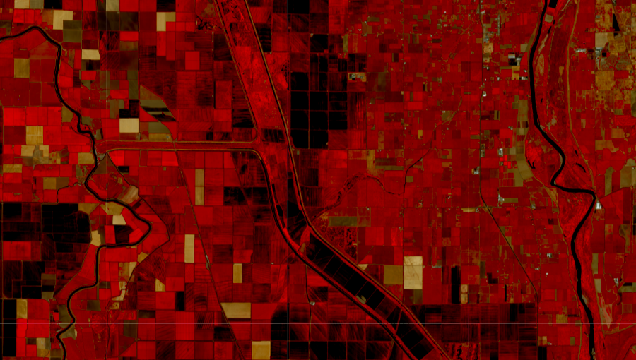
When you work with single-channel images, you need to focus in depth on a narrow range of values and clearly evaluate the researched data.
13 Aug 2018
If you want to download Sentinel-2 satellite data, you’ve come to the right place! Our Satellite Images API was created exactly for this purpose.

06 Aug 2018
This article is a step-by-step description of how to work with polygons using our QueryBuilder and Agro API instruments. Part 1 explained how to use your personal OpenWeather account – be sure to set it up before starting to read this article.
06 Aug 2018
1) Satellite data search.
1.1. Selection of suppliers or distributors of satellite data.
1.2. Data search in archives. Search is based on the following criteria: date of satellite imagery, percentage cloud coverage, type of satellite imagery system, level of data preprocessing, geographical area of interest (AOI).

09 Jul 2018
This April, OpenWeather presented a brand new product, the Agro API, which was intended to change the working process of agricultural applications. Our algorithms for collecting and processing satellite scenes and weather data, combined with the simplified delivery of prepared products to the end user, make this product wholly unique and very convenient.
Download OpenWeather app