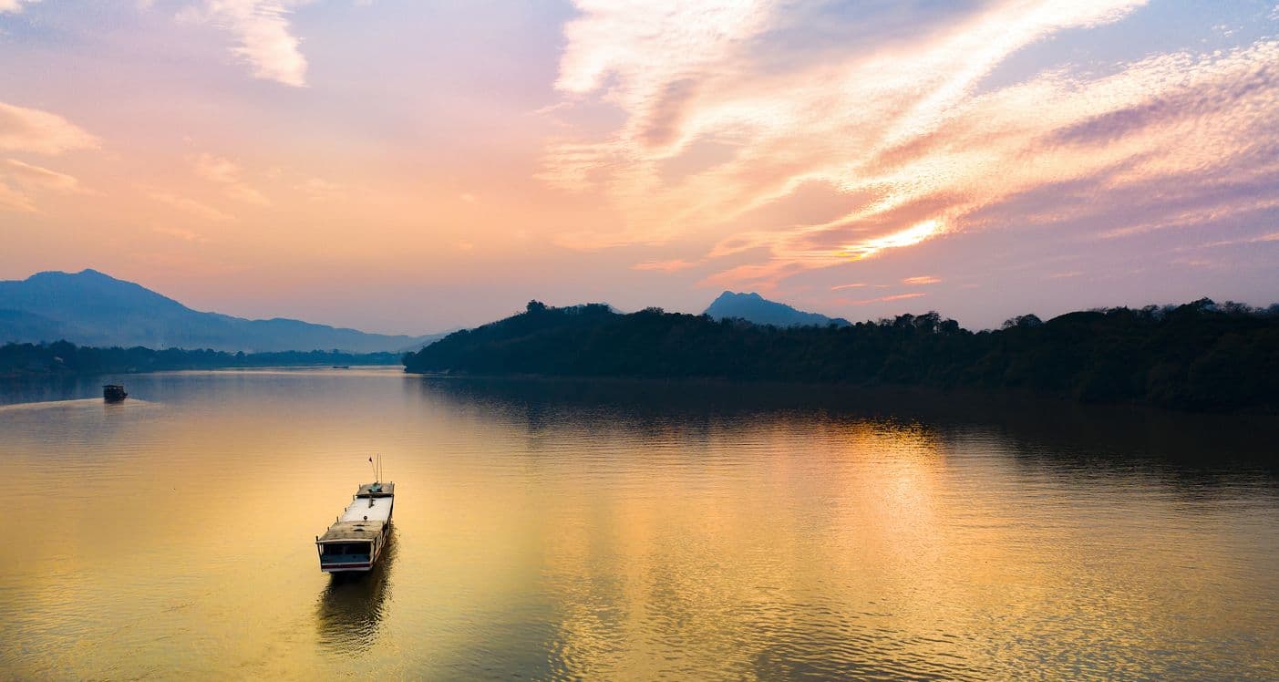
The Mekong River is the lifeblood of Southeast Asia, a vast waterway that supports millions of livelihoods through agriculture, fishing, and transport. For centuries, its predictable seasonal pulse, a slow flood and a gentle retreat, defined life along its banks. That reliable rhythm is changing.
Today, the region faces a new challenge often described as a "whiplash." This term captures the river's increasingly erratic behaviour, swinging from one extreme to another. In 2024, parts of the delta reeled from floods exacerbated by powerful typhoons like Yagi. Yet, forecasts for 2025 point towards a potentially severe dry year. This volatility, driven by a combination of climate change and upstream water management, presents a complex problem. The issue is not just a disappearing river; it is an unpredictable one. For the farmers, communities, and governments in the Mekong Delta, navigating this new normal requires resilience, foresight, and high-quality data.
Building Early Warning Systems for Community Safety
When the river's behaviour is unpredictable, timely information becomes the most critical defence. A sudden tropical storm or a rapid rise in water levels can inundate villages and destroy crops with little warning. Getting official alerts from a national agency to the specific people in harm's way is a significant logistical challenge.
This is where modern technology can bridge the gap. A powerful framework for a government disaster agency or a community safety app developer could involve integrating a system like the OpenWeather Global Weather Alerts API. Such a service aggregates official, government-issued warnings for events like typhoons, tropical storms, and flash floods. By subscribing to this data stream, a local agency in Vietnam or Cambodia could build applications that instantly push location-specific alerts to mobile phones. This transforms a broad regional forecast into a precise, actionable warning for a specific district, giving families vital time to prepare, evacuate, or protect their property.
Data for the Daily Dilemma: Rain and Resilience
Beyond immediate emergencies, the river's volatility creates constant uncertainty for the region's agricultural backbone. Farmers face a difficult dilemma. When is the right time to plant? Will there be enough water to sustain the crop? Or will a sudden downpour arrive just before harvest?
This level of planning requires a reliable short-term forecast. An 8-day forecast, such as one provided by the OpenWeather One Call API 3.0, can offer a crucial window of opportunity. A farmer checking this forecast might see a prolonged dry spell is expected, signaling the need to start water conservation measures or adjust irrigation schedules. Conversely, seeing a forecast for two days of heavy rain followed by a clear spell could inform the decision to harvest a crop early, saving it from a damaging downpour. This access to granular, near-term data empowers farmers to make proactive decisions rather than reacting to the weather.
A Regional View on Crop Health
The impact of the water whiplash is not just local; it affects the food security of the entire region. A government planning ministry or a large agricultural cooperative needs to understand the cumulative effects of flood and drought on the delta's "rice bowl."
This macro-level view can be achieved using satellite data, particularly vegetation indices. Products in the OpenWeather For Agriculture Collection provide data including the Normalized Difference Vegetation Index (NDVI). NDVI is a powerful tool for monitoring plant health from space. By analysing this data across the Mekong Delta, stakeholders can gain a near-real-time understanding of agricultural conditions.
This data can reveal:
- Large areas where crops are stressed due to water scarcity.
- The precise footprint of crop damage following a major flood event.
- Regions where growing conditions are favourable, helping to forecast yields.
- Early indications of potential food security challenges before they become a crisis.
Anticipating the Next Swing
The "whiplash" of the Mekong is a complex, long-term challenge. The extreme swings from flood to drought are the new reality for millions. While the causes are complex, the path toward resilience is clear. It relies on empowering communities, farmers, and government initiatives with the best possible information. Accessible, accurate, and timely weather data is fundamental to this effort, providing the tools not to stop the river's swing, but to anticipate it, prepare for it, and thrive.
