Latest Updates
& Industry Insights
Stay informed with OpenWeather’s latest news, product updates, and insights
30 years of historical data from OpenWeatherMap!
Jan 2020
5 min read
Read more
OpenWeather 2019: results of the year. Historical weather data, Weather API, Agro Dashboard
Jan 2020
5 min read
Read more
History Bulk and History Forecast Bulk: choosing any location on the map
Dec 2019
5 min read
Read more
‘Feels like’ temperature in OpenWeather APIs
Dec 2019
5 min read
Read more
From now on, History Forecast Bulks can be purchased directly on the website
Dec 2019
5 min read
Read more
Historical collection | Part 1: Products based on historical data
Dec 2019
5 min read
Read more
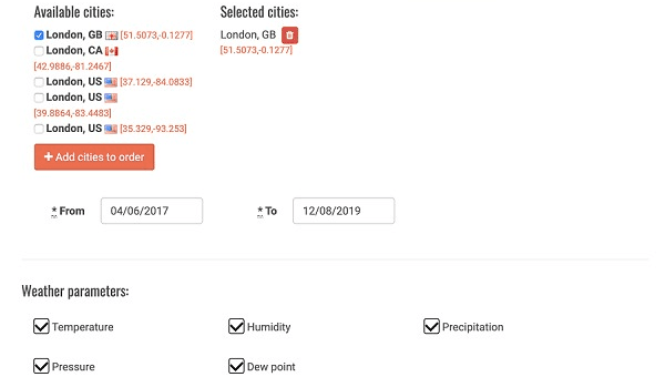
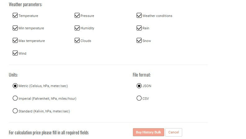
History Bulk update! Create your own customised set of weather parameters and units
Dec 2019
5 min read
Read more
Time Machine: 40 years of historical data for any coordinates
Dec 2019
5 min read
Read more
Building visual agro service based on weather and satellite data I Part 1: Agro Dashboard
Nov 2019
5 min read
Read more
History Forecast Bulk
Oct 2019
5 min read
Read more
Dive into Agro API | Part 3 - Historical NDVI
Oct 2019
5 min read
Read more
Dashboard update: Current and historical soil data
Sep 2019
5 min read
Read more


