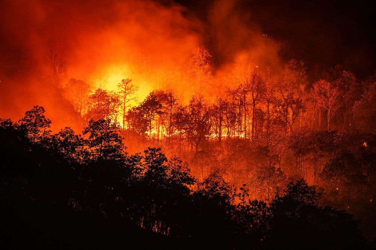
The 2026 wildfire season has again exposed how quickly a landscape fire can outrun the resources sent to fight it. In eastern Washington, the Kaiser Canyon Fire, sparked by lightning on 16 July near the town of Nespelem on the Colville Reservation, across Okanogan and Ferry counties, spread across more than 120,000 acres within its first fortnight while containment crept along in the single digits. The story of the response, though, points to a clear shift in strategy: the old model of simply reacting to a fire’s spread is giving way to a proactive approach built on a foundation of solid data.
That shift is visible well beyond a single incident. As crews on Kaiser Canyon intensively monitored the warmer, drier and windier conditions forecast to drive the fire’s behaviour, the wider risk industry moved in the same direction – catastrophe modellers and insurers are increasingly calibrating to current and emerging fire conditions rather than historical burn patterns. Predictive weather data now sits at the centre of modern wildfire management.
Beyond individual weather points
Wildfires are fuelled by land-based weather: high temperatures, low humidity and strong winds. The challenge for fire officials and community leaders is answering a deceptively simple question – “What is the actual fire danger level today?” That requires a way to combine several complex, fast-moving weather variables into one actionable score.
The OpenWeather Fire Weather Index API: a clear, combined metric
This is the role of the OpenWeather Fire Weather Index API. It is a science-based, standardised system that synthesises multiple weather inputs – temperature, humidity, wind speed and recent precipitation – into a single numerical rating. That number clearly communicates the potential for a fire to start and spread.
For public safety bodies and local government, this single metric is valuable precisely because it removes ambiguity. A project that integrates the Fire Weather Index API can pull the calculated rating directly into its planning and public-facing systems, allowing officials to:
- Objectively set daily fire danger levels for public lands.
- Make informed, data-backed decisions on issuing fire bans.
- Clearly communicate the current risk level to residents.
- Better justify resource allocation and preparedness measures.
Instead of trying to interpret raw wind and humidity data, a team can see an FWI score of “High” or “Extreme” and act immediately and with confidence. That’s exactly the kind of judgement that matters when a forecast of rising winds threatens to reopen a fire that crews thought they were gaining on.
Building a complete picture
A single, trusted index becomes the core of a modern data strategy. It provides the level of danger in a form that operational teams can layer into their own escalation thresholds, staffing plans and public messaging. As an FWI rating climbs from High to Extreme, pre-agreed triggers can move an organisation from monitoring to active preparation before conditions turn, rather than after. The value is not in any one reading but in a consistent, comparable score that everyone from incident commanders to residents can understand and trust.
A more resilient future
The 2026 fire season is a reminder that resilience is built on information. By leaning on clear, synthesised data such as the Fire Weather Index, public safety organisations can move from a reactive to a proactive stance, anticipating the days when the atmosphere is primed to carry a fire, and preparing accordingly. That data-driven approach is the future of wildfire management, and the foundation for safer, better-prepared communities.