
AGRO
TECHNOLOGIES
Dive into Agro API | Part 3 - Historical NDVI
Oct 21, 2019

5 min read
Read more

AGRO
WEATHER
Dashboard update: Current and historical soil data
Sep 24, 2019
5 min read
Read more

TEAM&COMPANY
World Observation Business Week in Paris
Sep 23, 2019
5 min read
Read more

WEATHER
We have integrated time zones into our weather API products!
Sep 23, 2019
5 min read
Read more

AGRO
WEATHER
Dashboard update: Accumulated parameters and weather history
Sep 05, 2019
5 min read
Read more
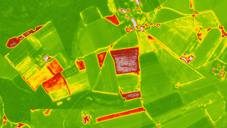
AGRO
PLATFORM
Visualisation of the NDVI index on satellite maps. Custom palettes for agricultural applications
Aug 22, 2019
5 min read
Read more

WEATHER
Statistical Weather Data API is now available!
Jul 15, 2019
5 min read
Read more

WEATHER
Climate API: Climate forecast for 30 days
Jul 15, 2019
5 min read
Read more

AGRO
WEATHER
The second version of our updated Dashboard: Weather data!
May 01, 2019
5 min read
Read more

WEATHER
Our new weather product – Hourly Forecast!
Apr 04, 2019
5 min read
Read more

AGRO
WEATHER
The first version of our updated Dashboard!
Apr 03, 2019
5 min read
Read more

AGRO
WEATHER
Our team is actively developing a new version of the Agricultural Dashboard!
Mar 18, 2019
5 min read
Read more
Latest Updates
& Industry Insights
Stay informed with OpenWeather’s latest news, product updates, and insights