×

OpenWeather
Meteorological Service

Dan Hart Speak to the Chief
Meteorologist Dan Hart and
his team!
OpenWeatherMap presents the release of the VANE Language service

OpenWeatherMap presents the release of the VANE Language service

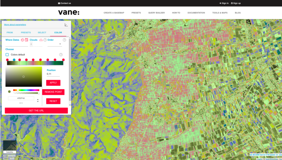
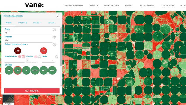
OpenWeatherMap presents the release of a new service – VANE Language (formerly Imagery API) – with examples here: http://owm.io/vaneLanguage.

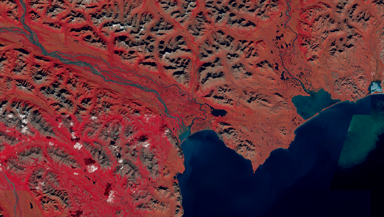
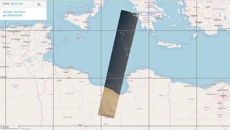
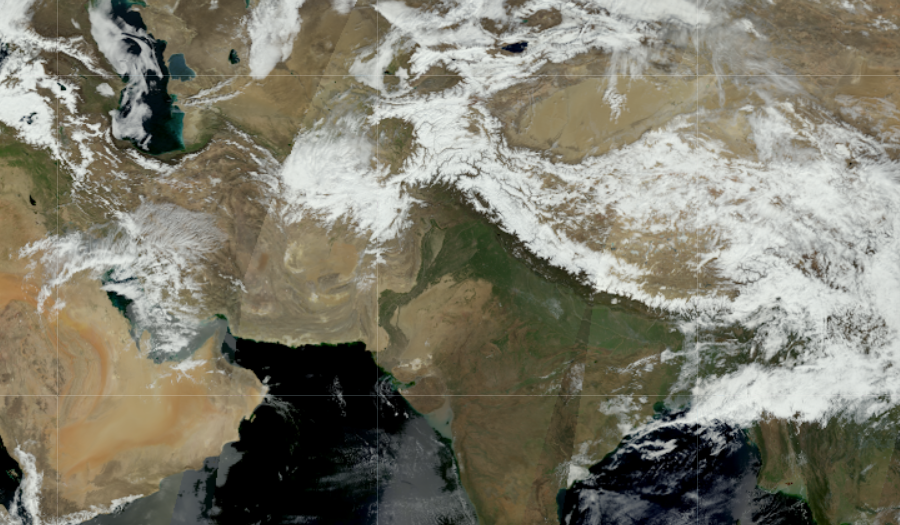
We initially called this service the “Imagery API...

Satellite imagery: Landsat 8 and its Band Combinations.

Satellite imagery: Landsat 8 and its Band Combinations.

In the current version of the VANE Language, we use images from the Landsat 8 satellite, which captures the Earth’s entire surface every 16 days. The satellite makes hundreds of images, with a unique name for each on...

How to know what particular imagery you get from the VANE Geospatial Platform

How to know what particular imagery you get from the VANE Geospatial Platform

One of the benefits of the VANE platform is that there is no need to search by scenes and footprints. It is based on a simple assumption: each location in the world has metadata – click on any location and you can get informa...

Query Builder Palette

Query Builder Palette

When you work with single-channel images, you need to focus in depth on a narrow range of values and clearly evaluate the researched data.

Data from Modis on the VANE platform!

Data from Modis on the VANE platform!

The OpenWeather team is pleased to present a new source of current data for the VANE platform service – two Modis satellites: Terra and Aqua.

We use cookies to personalize content and to analyze our traffic. Please decide if you are willing to accept cookies from our website.