29 Nov 2018
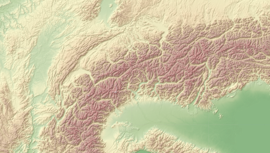
The OpenWeather team announces Relief Maps!
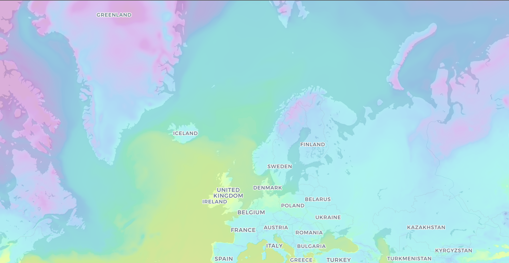
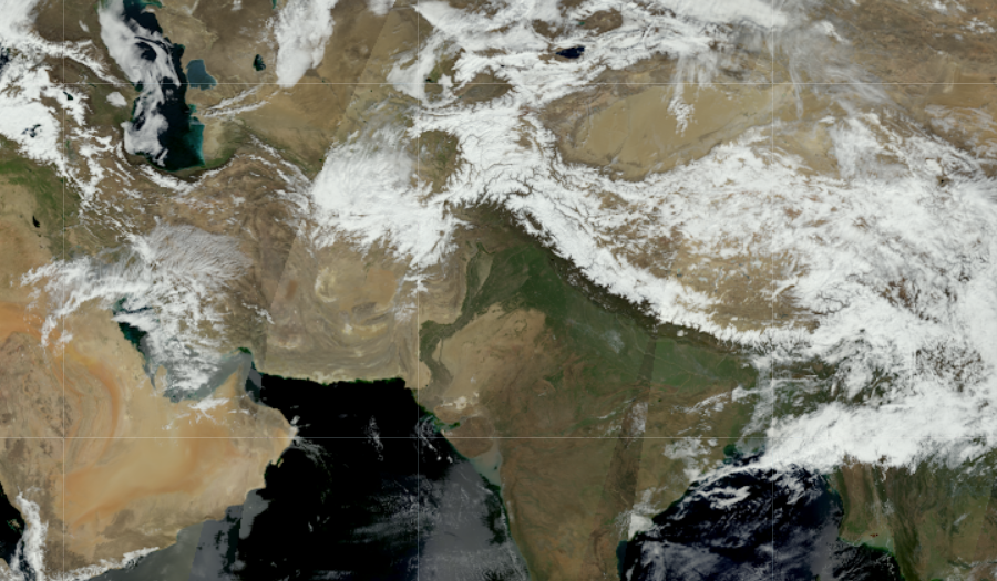
Relief Maps allows you to get relief maps from around the world. Set the position of the sun in your parameters and you will receive precise illumination of the earth’s surface and its relief for the conditions you have set.